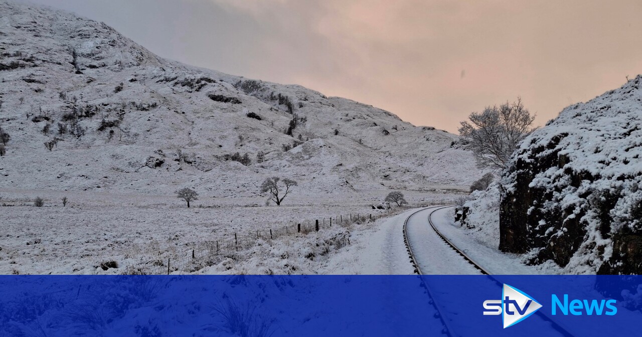
Wintry conditions continue to affect Scotland, and a warning for ice is issued after temperatures plummeted to -6C.
The Met Office has issued a yellow warning for ice for Friday that comes into place at 4pm and will expire at 10am on Saturday.
It comes after temperatures plummeted on Thursday night and heavy snowfall has been seen across Scotland.
The ice warning covers central Scotland, Aberdeenshire, the Highlands, the Scottish Borders, Strathclyde, the Orkney Islands, and the Shetland Islands.
Forecasters warned temperatures will widely fall below freezing on Friday evening allowing ice to form on untreated surfaces, particularly where roads and pavements remain wet from wintry showers.
Scattered showers will fall as a mixture of rain, sleet and snow.
The Met Office added that areas are unlikely to see any fresh accumulations of snow, though a slight covering is possible in places, especially over parts of northern Scotland.
Wintry conditions are set to continue into the weekend, with an additional warning for heavy snow and ice coming into place on Saturday.
Met Office meteorologist Tom Morgan said: “At the moment we’ve issued a very large snow warning for Saturday until Monday but it doesn’t mean that everywhere within that warning could see snow, it’s just a heads-up there could be some impacts.”
Last night, temperatures dropped to lows of -6.4c in Eskdalemuir, -4.7c in Salsburgh, -4.6c at Tyndrum and -4.1c at Tulloch Bridge. We saw a fairly widespread frost and further wintry showers moving into the north, bringing further snowfall accumulations.
As of 6am this morning, locations such as Dyce in Aberdeenshire and Loch Glascarnoch in the north-west Highlands were reporting 8cm of snow and 4cm of snow at Altnaharra in Caithness & Sutherland.
Met Office weather warnings are in force until 10am this morning, but even after that, we will see some impacts throughout the day. We have a snow and ice warning covering the Northern Isles and parts of the northwest Highlands, Angus, Moray, Aberdeenshire and Argyll & Bute. This is because we have further wintry showers moving in, but generally, these will fizzle out throughout the morning and into the afternoon.
Further west, an Ice warning covers the Western Isles, stretching down much of the western side of the country. With temperatures dropping below freezing quite widely and struggling to recover throughout the morning, there will definitely be icy roads and pavements.
Come Saturday, it’s not looking too bad overall. There are plenty of sunny spells around, with some showers—again, these will be most prominent around the north and west of the country. But on the whole, it’s a largely dry day, but it’s still bitterly cold out and about.
Sunday is the day we need to watch. An area of low pressure starts to move in from the southwest, bringing with it a band of rain. As that rain bumps into the colder air, it will bring heavy snow across central and southern Scotland, with the snow continuing to develop overnight into Monday.
This is why we already have a yellow weather warning for snow covering the vast majority of central Scotland. It comes into effect at midnight Sunday and runs until midday Monday.
The snow could end up being quite disruptive if the current models follow through, but if the low pressure moves a bit further south, then there is a chance the heaviest snowfall will impact more southern parts of the UK. As always, we will be keeping an eye on this over the next 24 hours.
STV News is now on WhatsApp
Get all the latest news from around the country
Follow STV News
Follow STV News on WhatsApp
Scan the QR code on your mobile device for all the latest news from around the country
